

Lakkidi Viewpoint is a roadside lookout in Wayanad, set at the crest of the Thamarassery Ghat pass. It offers views over surrounding cliffs and valleys, and its position along the ghat road makes it a scenic stop on a drive through the district.
- Setting: At the crest of the Thamarassery Ghat pass, described by Kerala Tourism as the gateway to Wayanad.
- Elevation: 2,296 ft (700 m) above sea level.
- Road approach: The ghat road from Adivaram to Lakkidi has nine hairpin curves.
- Nearby town: Vythiri is 5 km from Lakkidi.
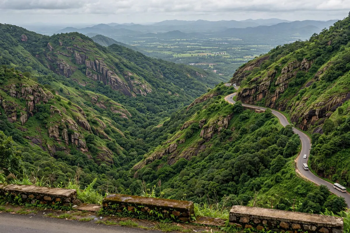
What the viewpoint looks out over
Lakkidi Viewpoint looks across the cliffs and valleys around the Thamarassery Ghat pass. The surrounding route runs through steep mountains, hills, gorges and streams, giving the lookout a broader landscape setting than a single valley view.
Kerala Tourism describes Lakkidi as the gateway to Wayanad and places it at 2,296 ft (700 m) above sea level. Nearby Vythiri is 5 km away. The Chain Tree, a chain-bound ficus associated with the road toward Vythiri, is another local landmark; the story connecting it to Karinthandan is presented as a local legend.
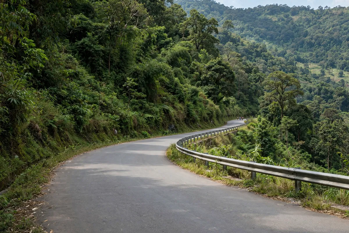
Road access and safe stopping
Lakkidi Viewpoint is described as a place where people often stop, but Kerala Tourism does not identify a formally designated parking or stopping area. Treat it as a roadside lookout rather than assuming there is a dedicated car park.
The approach is part of the experience: the ghat road from Adivaram to Lakkidi has nine hairpin curves. If you stop, follow warning signs and barriers, and avoid restricted or slippery areas. Take extra care around flooded or poorly lit spots, as a visitor listing advises checking local conditions before setting out.
Opening hours, an entry fee and parking arrangements are not published on Kerala Tourism’s page. Check the official site before you go.
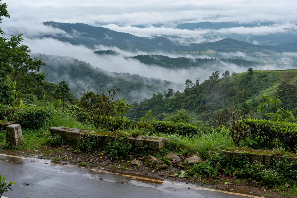
Weather, visibility and timing
Visibility at a hilltop viewpoint depends on the conditions when you arrive, so check the current weather and local advisories before driving to Lakkidi. Mist or clouds can affect the view, and wet surfaces may make roadside areas slippery.
There are no published opening hours for the viewpoint on Kerala Tourism’s page. The best time to visit Wayanad varies with the kind of trip you are planning.
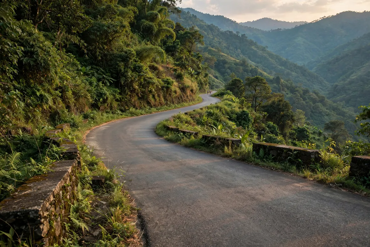
Fitting the viewpoint into a Wayanad drive
Lakkidi Viewpoint fits naturally into a drive along the Thamarassery Ghat route, with Vythiri and the Chain Tree as nearby reference points. The winding road and roadside lookout make it worth allowing time to pause safely rather than treating the viewpoint as a quick stop on a tight schedule.
If you are planning a lakeside outing nearby, Pookode Lake is another Wayanad attraction.
Lakkidi Viewpoint is about 13.7 km from Ranches Jungle Beats.
This 3-star hotel in Wayanad is about 13.7 km from Lakkidi Viewpoint.
FAQs
How high is Lakkidi Viewpoint?
Kerala Tourism gives Lakkidi’s elevation as 2,296 ft (700 m) above sea level.
How many hairpin curves are on the ghat road to Lakkidi?
The ghat road from Adivaram to Lakkidi has nine hairpin curves.
What is the Chain Tree near Lakkidi?
It is a chain-bound ficus on the road toward Vythiri. The story linking it to Karinthandan is a local legend.